UVic’s ocean monitoring program celebrates 20 years under the waves
Published 2:15 pm Wednesday, February 25, 2026


Back in the 1990s, a group of scientists from the University of Victoria and the University of Washington got together over coffee and explored the “what if scenarios” of repurposing undersea communications cables to power scientific instruments on the ocean floor.
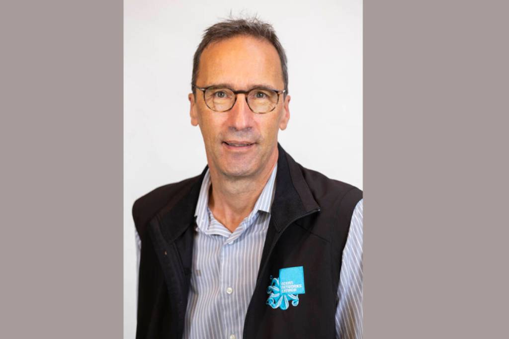
Chief innovation and technology officer at Ocean Networks Canada (ONC), Benoît Pirenne, said this concept of how to use existing cables under sea could provide both power and data transmission enabling continuous, real-time monitoring of the ocean was sketched on a napkin during that meeting.
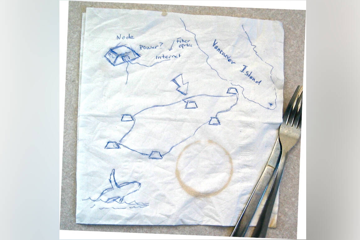
It is said that the concept of Ocean Networks Canada first came to life on a napkin drawn by scientists back in 1990s. (Ocean Networks Canada Facebook)
The idea of ONC became a reality in early 2000s with its major project, the VENUS Observatory being proposed in 2002-2003 and deployed in Saanich Inlet. In 2006, the observatory delivered its first data online, marking the beginning of continuous real-time ocean observation in Canadian coastal waters.
ONC is owned and hosted by the University of Victoria and managed by the not-for-profit ONC Society. It currently operates a network of deep-ocean and coastal observatories across Canada’s Pacific, Arctic and Atlantic coasts and the Southern Ocean. The observatories collect biological, chemical, geological, and physical data that support scientific research, inform various industries, and contribute to public safety and societal decision-making.
Pirenne said that this year, ONC is marking its 20th year since the first real-time ocean data from its observatories were transmitted to the internet.
“And the anniversary we’re celebrating is essentially the first data coming out of the Saanich inlet from a few of the sensors that are there and basically were the very beginnings of what was to become Ocean Networks Canada,” Pirenne said.
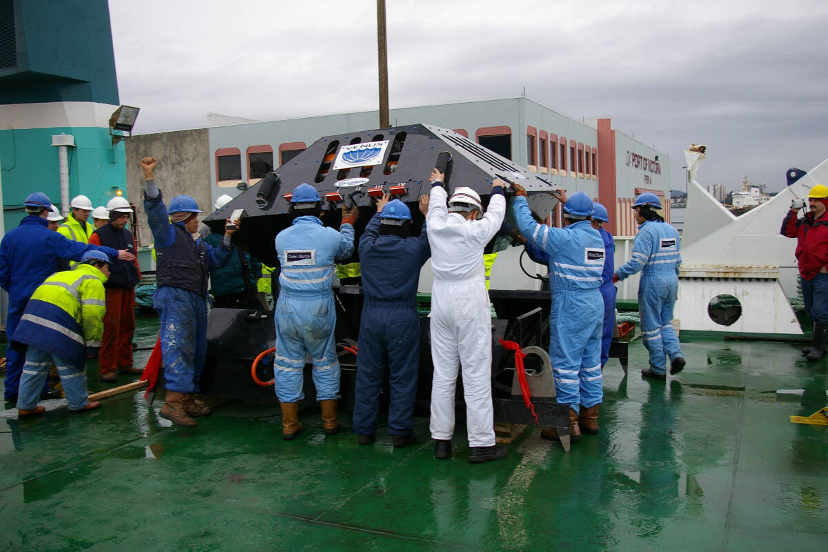
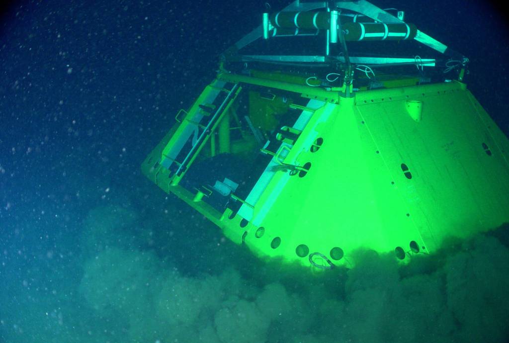
ONC first deployed VENUS Observatory in 2002-2003 and in Saanich Inlet. (Ocean Networks Canada Facebook)
In 2009, a second and more ambitious system, the NEPTUNE Observatory followed. It consists of an approximately 800 kilometre sub sea cable loop off the west coast of Vancouver Island, supporting multiple nodes and instruments on the seafloor.
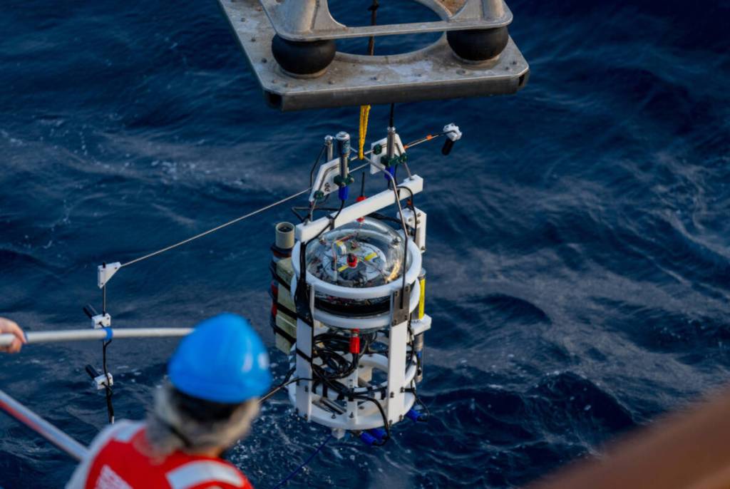
Today, ONC’s infrastructure supplies internet connectivity to thousands of marine equipment placed for underwater monitoring, measurement, and control. It extends up to 300 kilometres offshore and reaches depths of 2,660 metres. ONC also gathers data through mobile and community-based systems, including ferries, autonomous gliders, fixed buoys, moorings, coastal radar installations, ship-traffic sensors, weather stations, and onshore cameras.
In the recent years, ONC has reached beyond Canada’s coasts, by installing coastal observatories in Antarctica, where battery-powered, cabled sensor systems transmit near real-time data through satellite to its data centre in Victoria.

ONC installed two coastal observatories in Antarctica this January (2026). (Ocean Networks Canada Facebook)
Although ONC’s core focus is to support the research community, its data has been helping a wide range of services that benefit Greater Victoria. Over the years, its data has helped with earthquake detection and early warning, tsunami wave detection and inundation modelling, and providing ocean current data used to support marine safety and navigation.
Since 2017, seismic sensors operated by ONC have contributed to earthquake alerting abilities in southwestern B.C.
These sensors transmit data at the speed of light to ONC’s data centre, that can estimate the location of the earthquake and its magnitude while providing advance warning of ground shaking to critical infrastructure operators, including transit systems.
“So that would save people, can save infrastructure,” ONC president and CEO, Kate Moran added.
Coastal radar systems are another valuable service provided by the ONC. They measure surface current speed and direction while providing information that is used by marine operators to improve safety and efficiency.
What is more, tsunami inundation modelling conducted by ONC has been used by coastal and regional authorities to inform emergency planning, evacuation routes, and the placement of critical infrastructure.
“We have been documenting the impact of climate change on the ocean, and it’s very real,” Moran added.
A significant component of ONC’s work involves long-term collaboration with Indigenous and coastal communities. Beginning in 2012, ONC adapted its technologies to support smaller, community-based observatories, starting in Cambridge Bay, Nunavut.
There, instruments measuring sea ice thickness provide information that helps residents determine when it is safe to travel over the ice.
Across British Columbia and other regions, ONC has worked with First Nations communities to co-design observatories, asking what environmental measurements are most relevant and where instruments should be installed based on local and traditional knowledge. These collaborations support community-led monitoring of coastal waters, fisheries, vessel traffic, and environmental change.
Programs such as Community Fishers enable local participants to collect repeat observations using instruments deployed from boats, with data made available to communities in near real time. ONC has also supported studies of vessel traffic patterns in front of coastal communities, responding to concerns related to increased marine shipping.
ONC’s operations have contributed to economic activity in the Greater Victoria region. The organization employs approximately 160 highly skilled staff and works with a wide range of local and regional companies, including marine service providers, vessel operators, remotely operated vehicle teams, and ocean sensor manufacturers.
According to Pirenne ONC has a couple of priorities in the future.
“We want to focus a little more on the North and the Arctic because there’s a lot to learn there. As you probably heard, this is the region of the planet that changes the fastest, and we need to understand it better so that mitigation measures can be considered and put in place,” Pirenne said.
Moran explained that they have a good coverage in the Prince Rupert area and along much of Vancouver Island and Victoria. She said that they have been talking about expanding to mid-coast of B.C.
“What we’ve been doing is conducting what we call a distributed observatory, where we go on small vessels and collect data in that region to fill that gap of knowledge. We’re going to be expanding more Argo floats, which are deep ocean—what we call autonomous floats…And these autonomous floats start at the sea surface, and then they have a buoyancy feature. So they sink to the bottom of the ocean. As they sink, they collect data.”
Webcam footage from the observatories are available on their website: www.oceannetworks.ca/multimedia/live-cameras/
Their journey with major milestones and achievements are available on a story map at storymaps.arcgis.com/stories/0b559b40e8074d45a2d998bfa8401491